

There are 8 moderate trails in Crianlarich ranging from 2.9 to 15.6 miles and from 531 to 3,641 feet above sea level. Start checking them out and you'll be out on the trail in no time!

West Highland Way: Tyndrum to Inveroran
West Highland Way: Tyndrum to Inveroran is a 9.7 mile point-to-point trail located near Crianlarich, Stirling, Scotland that features a lake and is rated as moderate. The trail offers a number of activity options.
Ben More and Stob Binnein
Ben More and Stob Binnein is a 9.8 kilometre loop trail located near Crianlarich, Stirling, Scotland that offers scenic views and is rated as difficult. The trail is primarily used for hiking, walking, and trail running.

Path to Ben Challum
Path to Ben Challum is a 12.1 kilometre out and back trail located near Crianlarich, Stirling, Scotland that features beautiful wild flowers and is rated as difficult. The trail is primarily used for hiking, walking, and trail running.

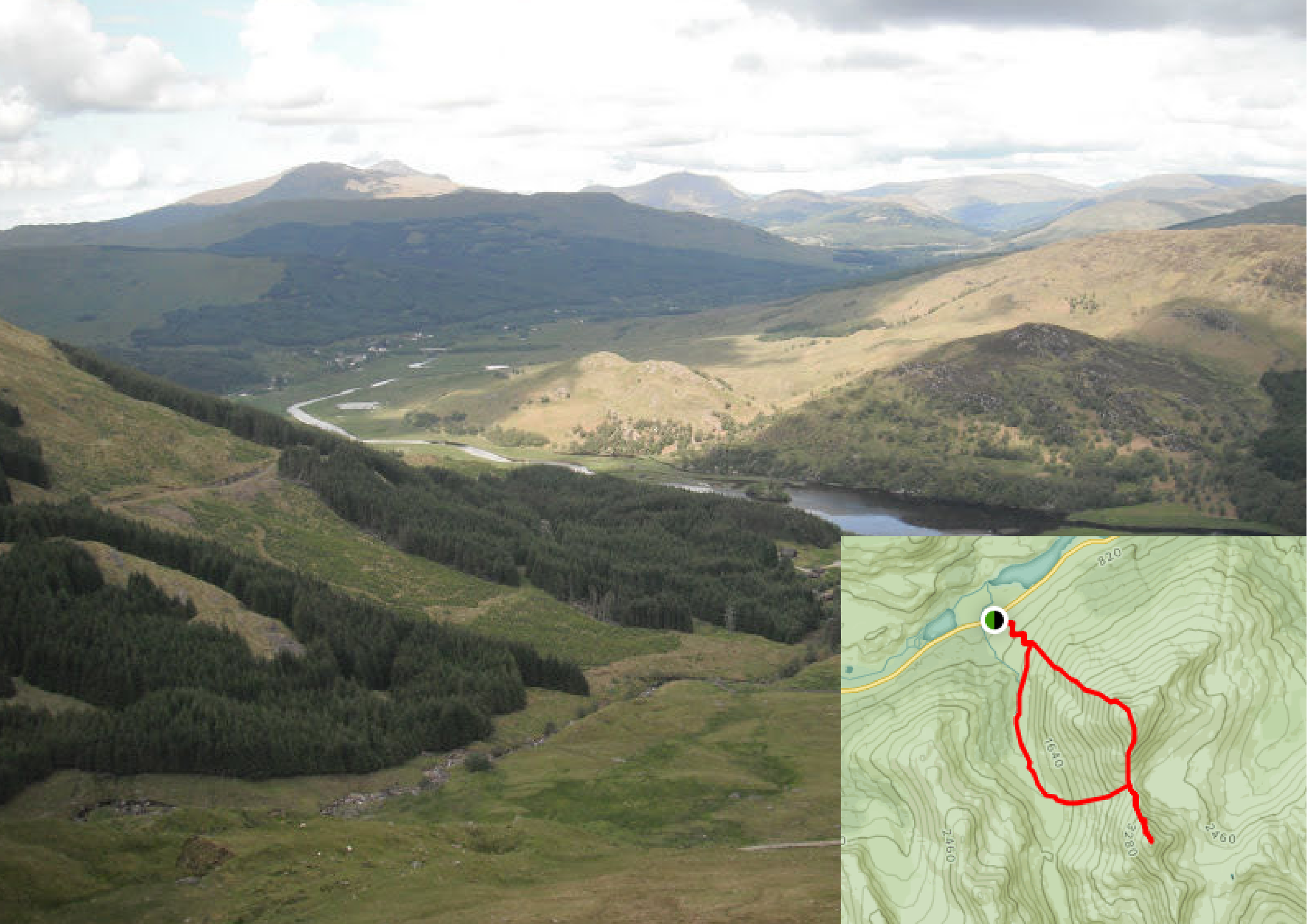
Cruach Ardrain to Beinn Tulaichean
Cruach Ardrain to Beinn Tulaichean Circular Walk is a 12.4 kilometre loop trail located near Crianlarich, Stirling, Scotland that features a waterfall and is rated as difficult. The trail is primarily used for hiking, walking, and nature trips.

West Highland Way: Crianlarich to Bridge of Orchy
West Highland Way: Crianlarich to Bridge of Orchy is a 22.5 kilometer lightly trafficked point-to-point trail located near Crianlarich, Stirling, Scotland that features a great forest setting and is rated as difficult. The trail is primarily used for hiking, running, and backpacking.